Trail: Mt Lowden Talus
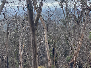
This is a longer walk, but has the advantage of following an (increasingly eroded) fire trail to the top. In the moister eastern facing valleys we heard lots of lyrebirds. Most of the area was badly impacted by fire, and some parts have perished. The track is not suitable for ordinary vehicles and there are signs that highly modified trail-specific vehicles have come to grief here as well.
Mapping
The trail trace can be found on Gaia. This trail follows a fire trail that ends at an unmanned radio facility. The nearby talus gives an altitude reading identical to Mr Lowden, but the trig marker on the map suggests that the peak is a little further on (we had a similar false reading for Mt Palerang). There are plenty of flat mountains in this part of the world, so i called our terminus far enough.
Return to Tallaganda Resource page


Comments