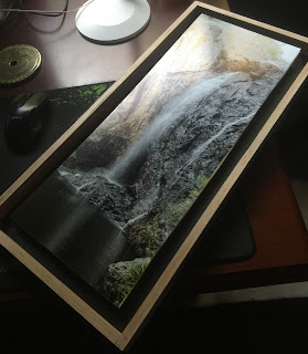
Ragged Falls (Molonglo Falls, Captain Flat Falls) revisited (maps inc)
Raggeds Fall is thundering, and the path to the falls is full of wildflowers. The entrance to the falls could not be more dramatic, as the path plunges into the Molonglo Gorge above the small town of Captains Flat.
The track is still in pretty good condition - but do not try to drive in - park somewhere safe near the main road and follow the map in. Be aware that Google Maps will just get you lost. A scratch map to the falls can be found here - or you can follow my path to the bottom of the falls using the Gaia GPS path here or the map below (note that the falls is on the lower path to the river). If you are prepared for a scramble and the water is not too high, you can also (carefully) get to the top of the falls (path indicated in purple below) - but this is much harder.
A tree has fallen across the path - but it is fairly easy to clamber through it to follow the defined path.
Earlier visits can be found here, and here (top of falls visit)


.jpg)


Comments