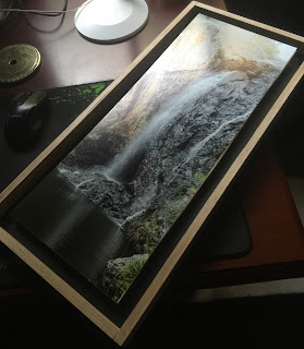
Trail: Mt Cronin Talus (Medium 6km, 140min, 350m ascent)
Tallaganda has a number of rock (talus) capped mountains and ridges. In theory, the rock caps dissuade tall trees near the summits, and there is the possibility of tree free vistas.
But trees are pretty resilient and vistas from the tops of the Tallaganda mountains are a bit hit and miss.
Not so with Mount Cronin - despite a healthy tall remnant eucalypt on the north east side of the mountain and rainforests in the lower western gullies, the cap is clear and you can see for miles.
You can also drive to the top (there are a collection of emergency services towers here), but the walk up and down steep fire trails and a mix of bike and animal tracks is exhilarating.
Along the way, you can explore the massive rock collections.


Comments